Applications
QGIS is not only a desktop GIS. We also provide a spatial file browser, a server application, and web applications.
QGIS Desktop
Create, edit, visualise, analyse and publish geospatial information.
For Windows, Mac, Linux, BSD and Android.
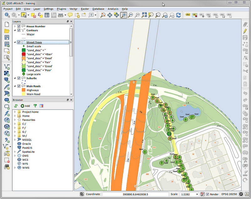
A screenshot of QGIS Desktop
QGIS Server
Publish your QGIS projects and layers as OGC compatible WMS, WMTS, WFS and WCS services. Control which layers, attributes, layouts and coordinate systems are exported. QGIS server is considered as a reference implementation for WMS 1.3.
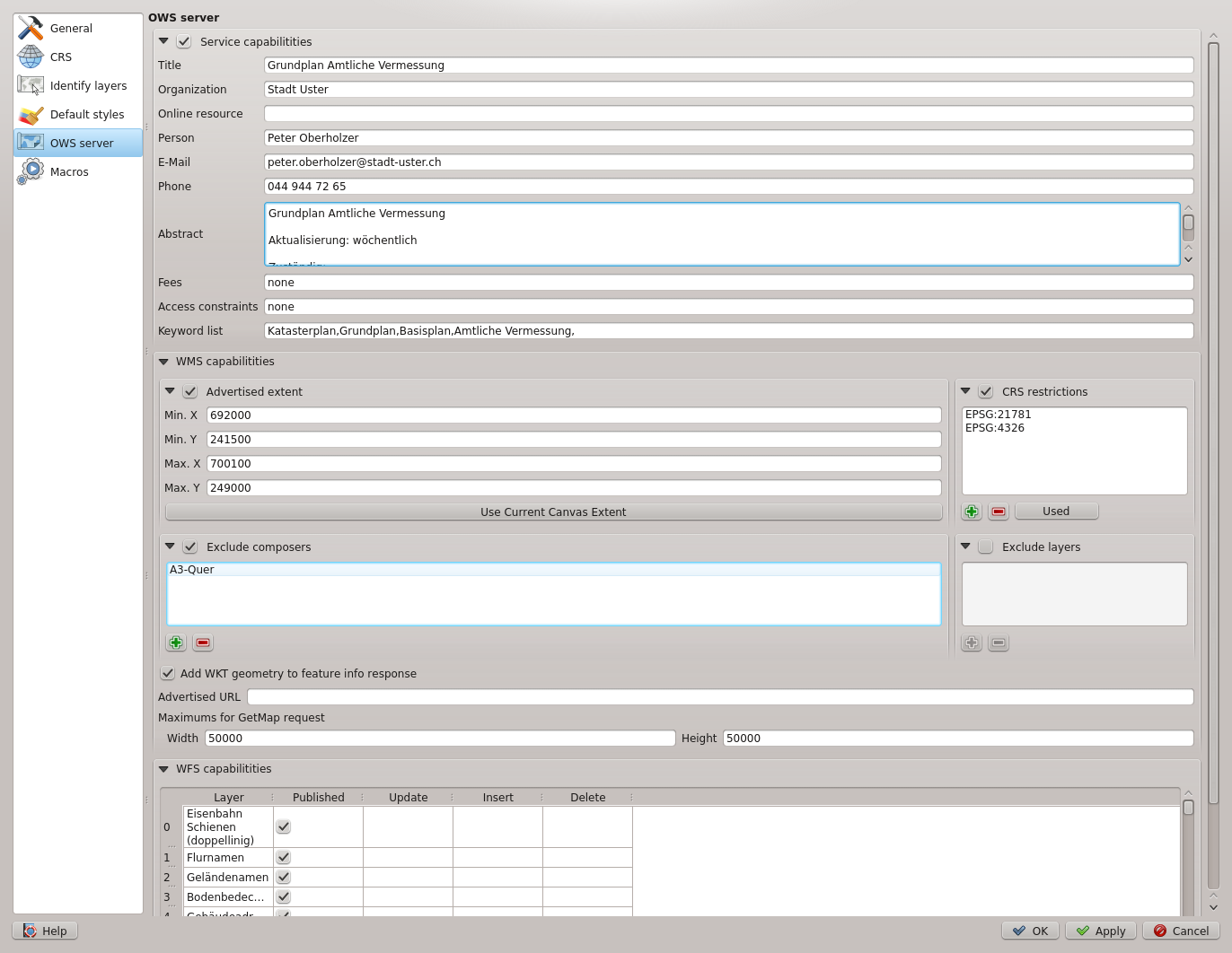
A screenshot of QGIS Server configuration in QGIS Desktop
QGIS Web Client
Publish your QGIS projects on the web with ease. Benefit from the powerful symbology, labeling and blending features to impress with your maps.
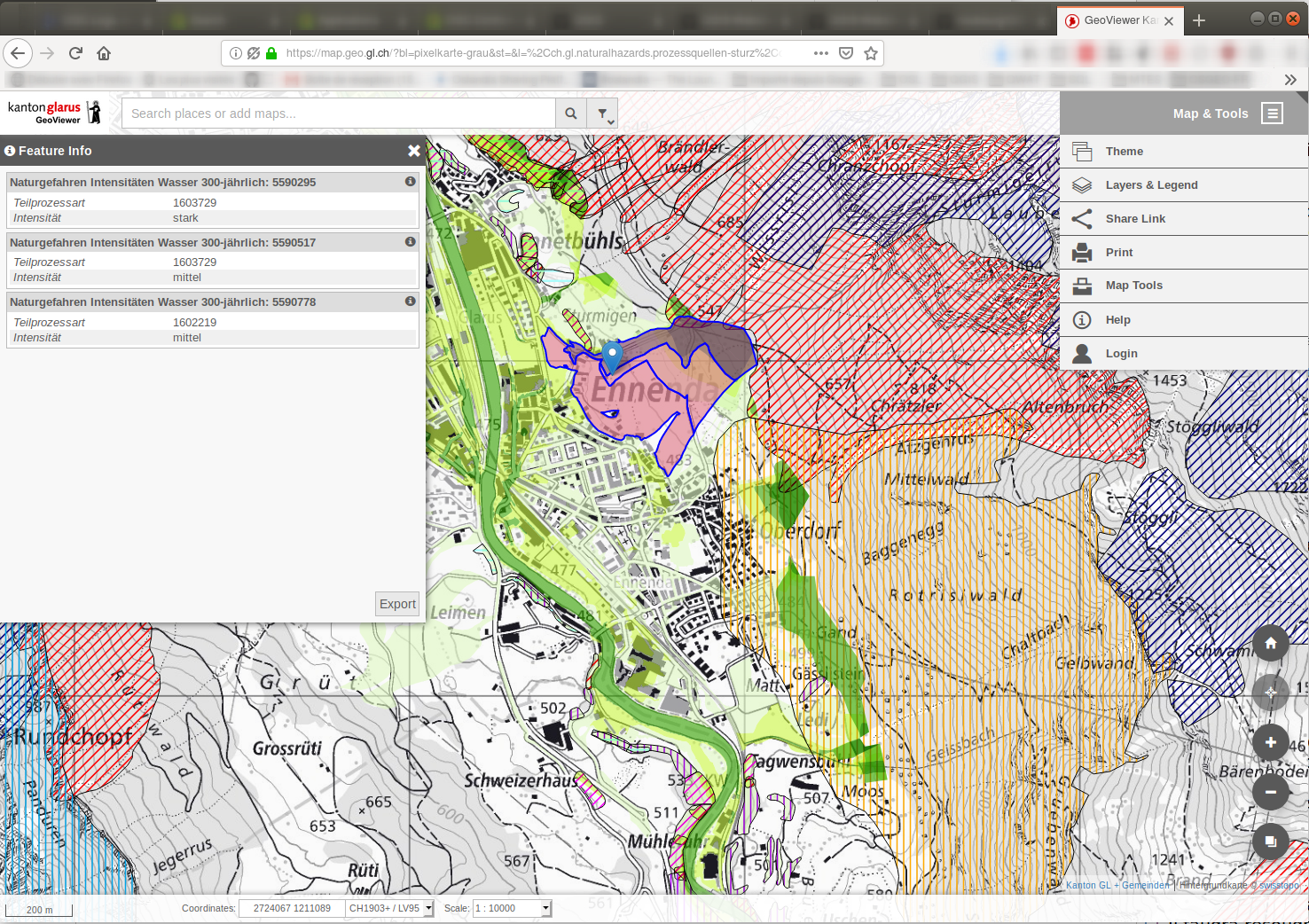
A screenshot of QGIS Web Client 2
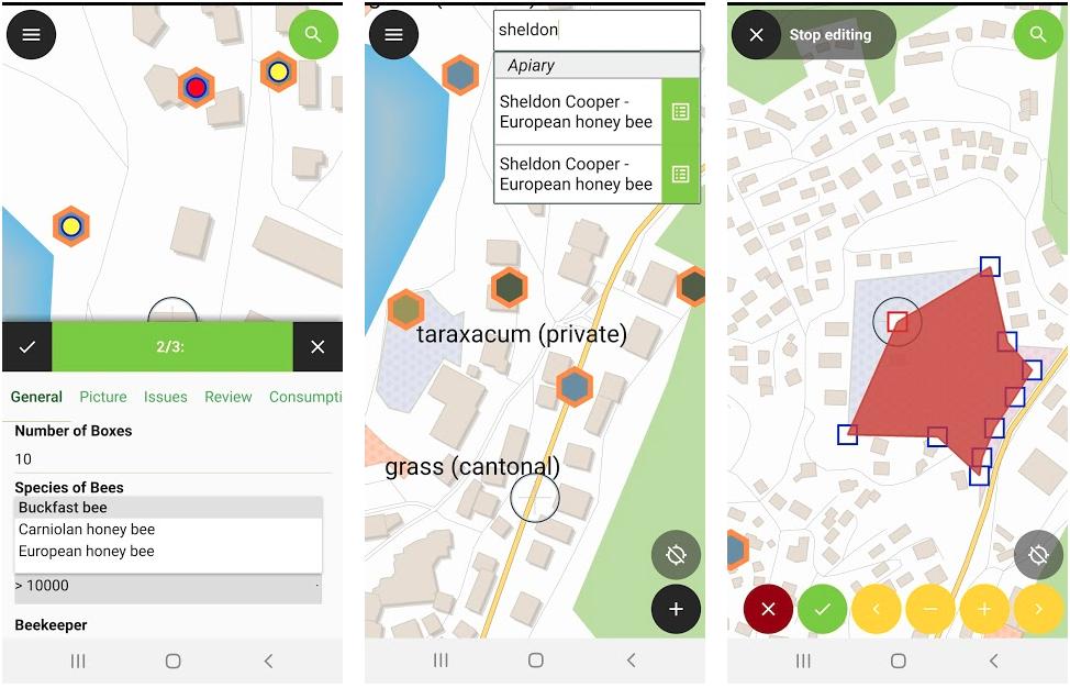
QGIS on mobiles and tablets
The QGIS experience does not stop on the desktop. Various third-party touch optimized apps allow you to take QGIS into the field
QField
A screenshot of QField (available for Android, iOS, Windows, macOS, Linux)
Mergin Maps Input app
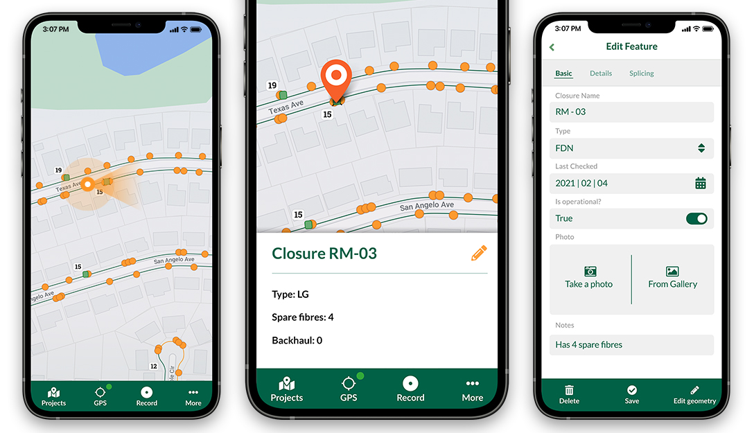
A screenshot of Mergin Maps Input app (available for Android, iOS, Windows)
IntraMaps Roam
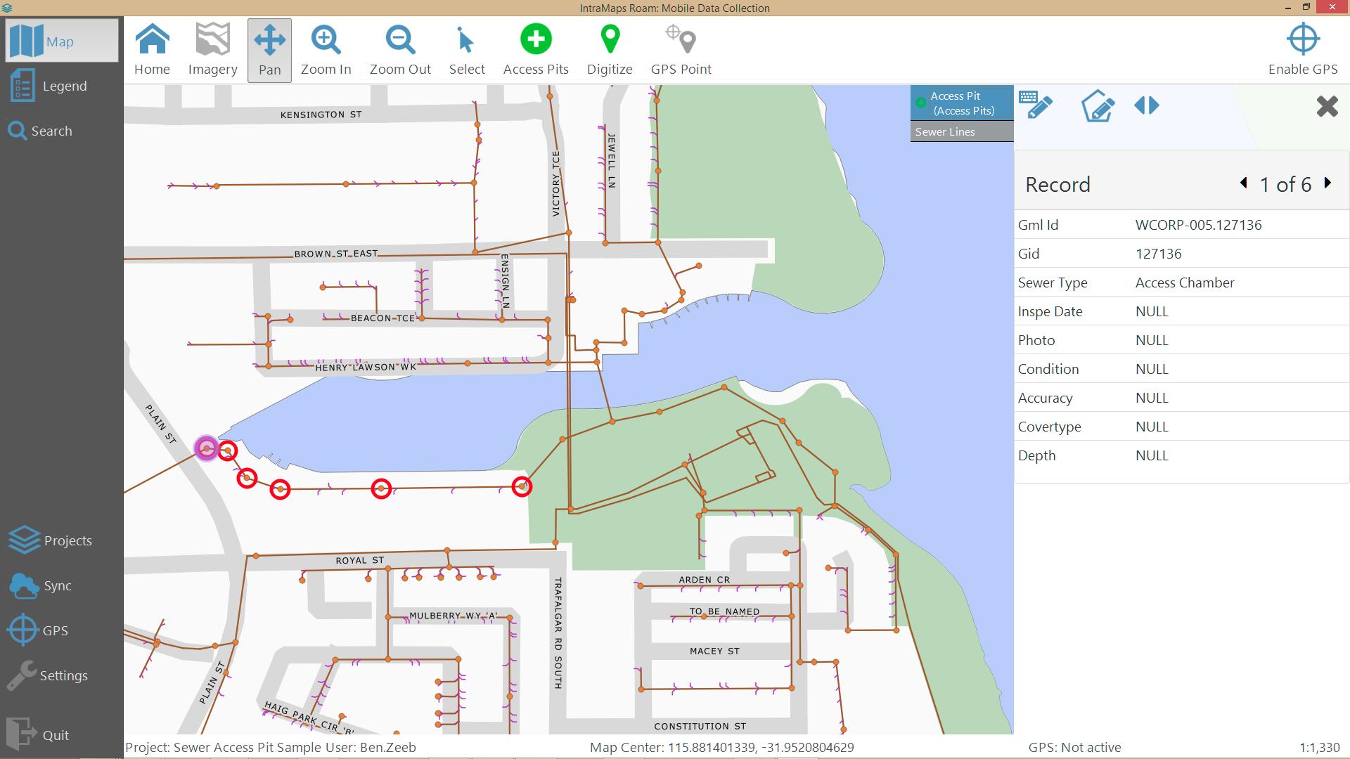
A screenshot of IntraMaps Roam (available for Windows)